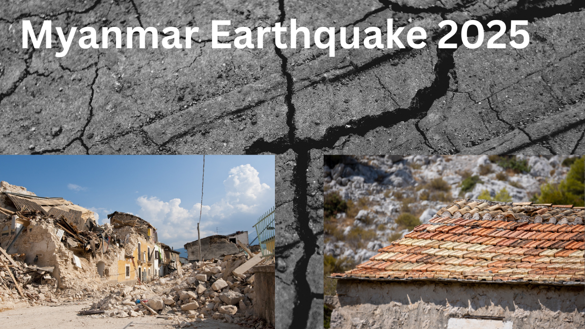
Natural disasters leave behind trails of devastation, and Myanmar’s recent earthquake was no exception. On March 28, 2025, the nation was struck by a catastrophic 7.7-magnitude earthquake, resulting in widespread destruction, thousands of deaths, and critical infrastructure damage. As the country grapples with the aftermath, satellite images from India’s space agency, ISRO, provide a clearer picture of the extent of devastation.

ISRO Satellite Images Reveal Myanmar Earthquake Destruction
To assess the damage, the Indian Space Research Organisation (ISRO) released high-resolution satellite images captured by the Cartosat-3 satellite from 500 kilometers above Earth. These images offer a stark visualization of the destruction.
Key Findings from the Satellite Images:
- Infrastructural Collapse: The Irrawaddy River Bridge, a vital transportation link, was severely damaged, disrupting connectivity.
- Damaged Landmarks:
- Mandalay University suffered extensive structural damage, with several buildings beyond repair.
- Highways and roads around the university and nearby areas sustained significant cracks and damage.
- Widespread Devastation in Mandalay: The city, being closest to the epicenter, bore the brunt of the destruction.
| Affected Areas | Extent of Damage |
|---|---|
| Irrawaddy River Bridge | Severely damaged, disrupting transport |
| Mandalay University | Several buildings collapsed |
| Mandalay Roads & Highways | Major cracks and structural failures |
| Ava Bridge & Mahamuni Pagoda | Historic landmarks destroyed |
Rising Death Toll and Widespread Displacement
The deadly quake has left Myanmar in mourning, with casualties continuing to rise. Official figures indicate:
- Over 1,700 confirmed dead, while more than 2,900 casualties have been reported in affected areas.
- Thousands are missing as rescue efforts continue.
- Entire communities in Mandalay and the Sagaing region have been displaced, forcing people into temporary shelters.
Most Severely Affected Regions:
- Mandalay: The worst-hit city, suffering irreparable damage to its historical and cultural landmarks.
- Sagaing Region: Rural communities have faced mass displacement due to destroyed homes and infrastructure.
- Bago and Magway: While not at the epicenter, these regions have also reported significant losses and damage.
International Assistance: Global Relief Efforts Underway
Following the devastation, multiple countries and humanitarian organizations have stepped in to provide relief aid and support.
Key Relief Efforts:
- India’s Immediate Response:
- Rescue teams deployed to assist with search-and-rescue operations.
- Medical and logistical aid delivered to affected regions.
- ISRO satellite data shared to help Myanmar authorities prioritize rescue and recovery efforts.
- Thailand’s Aid Initiatives: Despite being affected by the tremors, Thailand initiated emergency relief operations to assist Myanmar.
- Global Support: Countries such as China, Japan, and the United States have pledged aid, medical supplies, and financial assistance.
Search and Recovery: Myanmar’s Path to Rebuilding
With thousands left homeless and critical infrastructure destroyed, Myanmar faces a long and challenging road to recovery.
Immediate Priorities:
- Search-and-Rescue Operations: Teams are tirelessly working to find survivors trapped under debris.
- Medical and Emergency Care: Urgent healthcare assistance is being provided to the injured.
- Temporary Shelters: Relief camps and emergency housing solutions are being set up for displaced citizens.
Long-Term Rebuilding Efforts:
- Restoring Infrastructure: Bridges, roads, and power lines must be rebuilt to restore normalcy.
- Rebuilding Historical Landmarks: Efforts will be made to restore culturally significant sites like Ava Bridge and Mahamuni Pagoda.
- Strengthening Disaster Preparedness: Myanmar is expected to implement stronger disaster management policies to prevent future catastrophes from having such devastating effects.
While the nation mourns its losses, the resilience of its people, coupled with global solidarity, offers hope for recovery and rebuilding.
FAQs
1. What was the magnitude of the Myanmar earthquake in 2025?
The earthquake had a magnitude of 7.7, causing extensive damage and loss of life.
2. Which areas were most affected by the earthquake?
The worst-hit regions include Mandalay, Sagaing, Bago, and Magway, with Mandalay suffering the most destruction.
3. How has India contributed to Myanmar’s relief efforts?
India was one of the first countries to respond, sending rescue teams, medical aid, and satellite data to help with damage assessment and relief operations.
4. What are the long-term plans for rebuilding Myanmar after the earthquake?
Reconstruction will focus on restoring infrastructure, rebuilding historical landmarks, and improving disaster preparedness measures to mitigate future risks.
As Myanmar faces one of its darkest times, the outpouring of support from around the world underscores the power of unity in times of crisis. With continued relief efforts and resilience, the nation will rise again.
Click here to learn more
Pari is a passionate writer known for captivating stories that blend imagination and reality. Inspired by travel, history, and everyday moments, Pari crafts narratives that resonate deeply with readers.